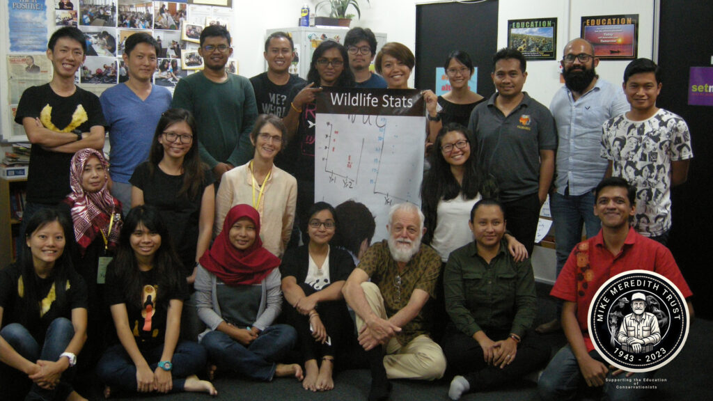
Spatial data are key to much of wildlife science, but most GIS training involves expensive proprietary software, so in this workshop we use the free QGIS program. We also see how spatial information can be prepared in QGIS and transferred to R for model fitting, and the result then imported back into QGIS.
Instructor team: Fen (lead instructor), Chee Pheng, Ngumbang and Mike.

